

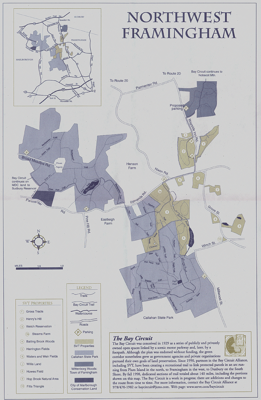
| Sudbury Valley Trustees (www.sudburyvalleytrustees.org) owns property adjacent to and nearby Callahan State Park. Membership in this organization is highly recommended. One of the member benefits is trail maps such as this one covering all of northwest Framingham. |
The northern part of the park is not as frequently used; you won't find the large number of dog walkers and the parking lot is seldom full.
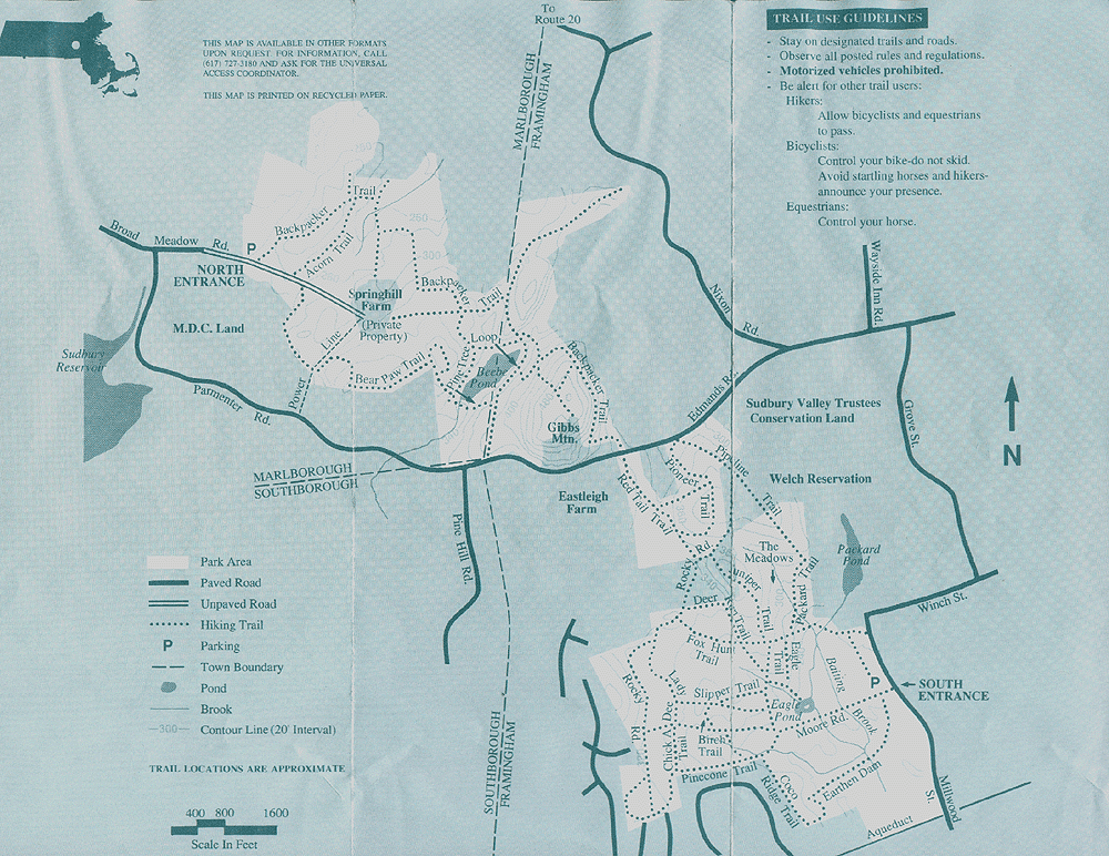
The main parking lot for this part of the park is off Broad Meadow Road in Marlboro, just south of Route 20. The coordinates are 42° 20.326 North, 71° 29.970 West. There is also room for 3 or 4 cars to park on the side of Edmands Road in Framingham at 42° 19.830 North, 71° 29.122 West. The length of your hike will be about the same for either parking lot.
Callahan Cache North is a 3 part multi-cache. Terrain is wooded trails with some rocks and roots in the trail surface; it is not flat but not especially steep.
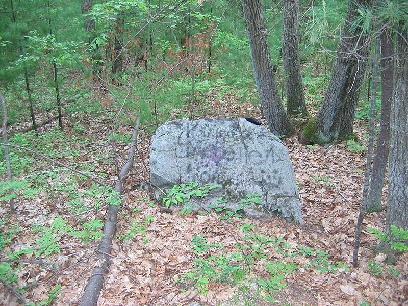
Callahan Cache North takes you into the less frequently used northern part of Callahan Park. The park offers hundreds of acres of public space in the northwest corner of Framingham and part of Marlboro. People who think of Framingham as Route 9 and shopping malls will be surprised to find this very rural corner of town.
Because the park is so large it didn't seem fair to have seekers just
take a quick hike in and out, so this was made a 3 part multi-cache
that will allow you to see more of the park. It should not be overly
difficult but you should plan about an hour (assuming you don't get
seriously lost!) and plan for trails that have leaves, embedded rock
and roots and in some places are somewhat steep.
| The Massachusetts Department of Environmental Management provides a trail map for Callahan State Park that is (sometimes!) available at the two main parking lots. Click here for a scanned copy of the map. |
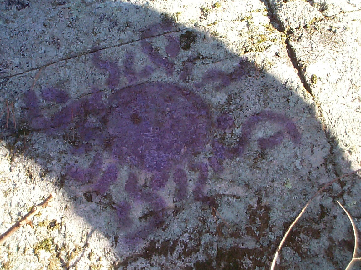
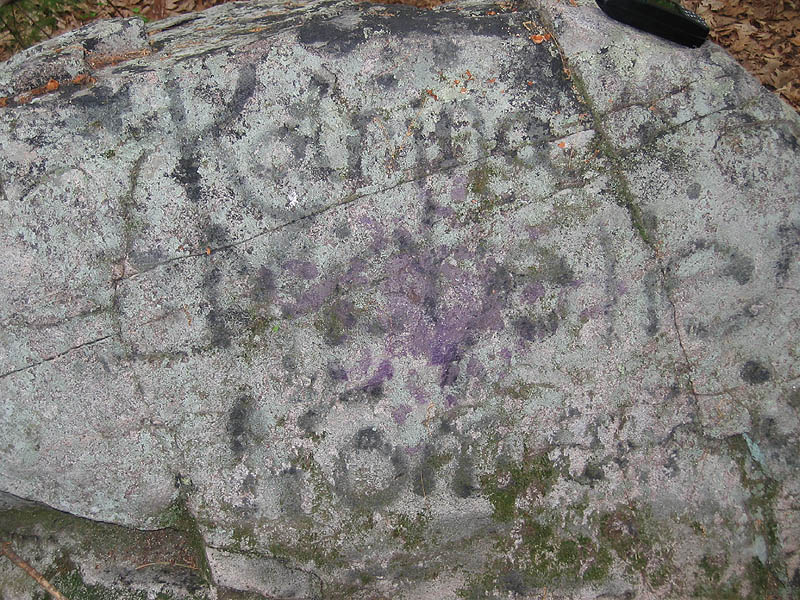
Take your coordinates at the Purple Sun rock. To find the next cache subtract as follows (notice I kept the subtraction very simple!):
      42° xx.xxx North
     -    00.300 (subtract)
      ----------
      42° xx.yyy North: coordinates for cache #2

      71° xx.xxx West
     -    00.300 (subtract)
      ----------
      71° xx.yyy West: coordinates for cache #2
Now, go to cache #2. Find a film can which contains the coordinates for
the third and final cache. I had originally planned an easier spot for this,
but another cache was planted in almost the same spot. Here's a clue to finding
it: the cache is at about eye level.Good luck!
Continue on for a picture tour of the north side of the park.
|
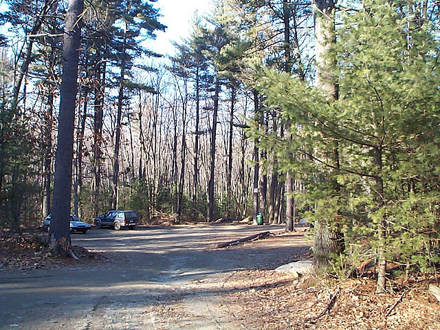
The main parking lot for the north side of the park is on Broad Meadow Road in Marlboro, just south of Route 20. This parking lot will hold quite a few cars. Park and start up Backpacker Trail (that's the trail head on the right) which begins right from the lot. Another unnamed and unmapped trail also starts from the parking lot. |
|
|
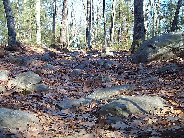
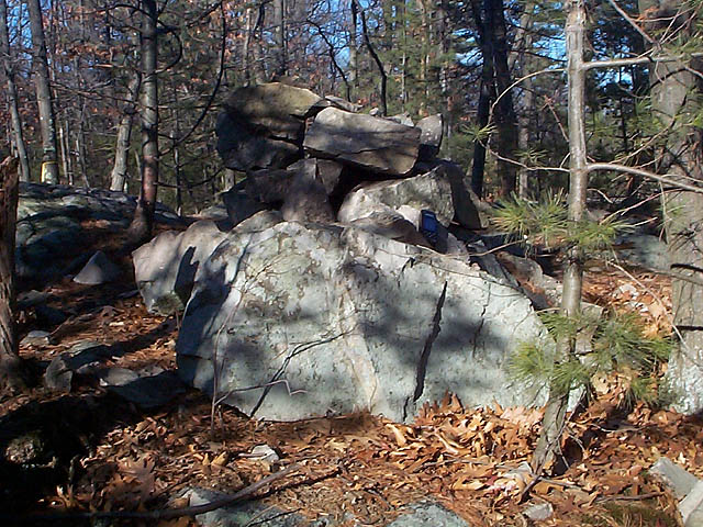
Did I mention the trails are rocky? Trails like this one on the left are pretty typical. Rocks like the one here on the right are found throughout the park, in all sizes. |
|
|
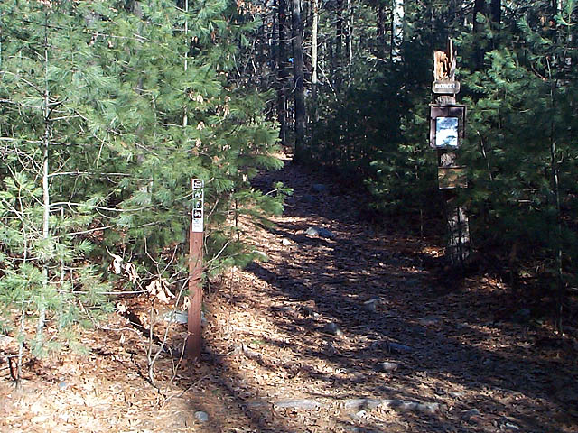
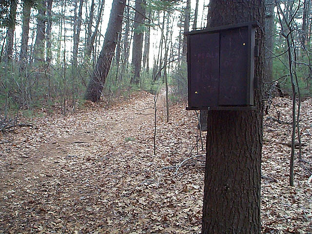
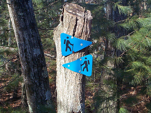
The state park people provide many useful (!) signs such as the one here on the left. You'll find them throughout the park. Here in the north side of the park trails are marked differently than in the south side. You'll see many blue triangles such as the ones in the photo to the right; this symbol is for Backpacker Trail. You'll also see that Acorn and Bear Paw trails are well marked using their own symbols. |
|
|
|
|
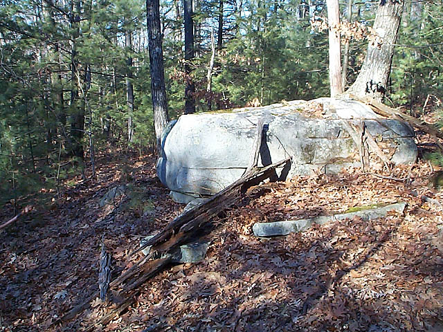
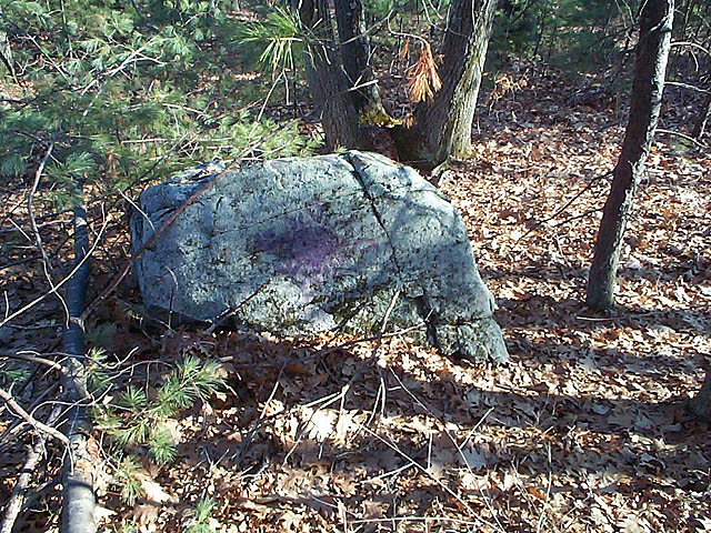
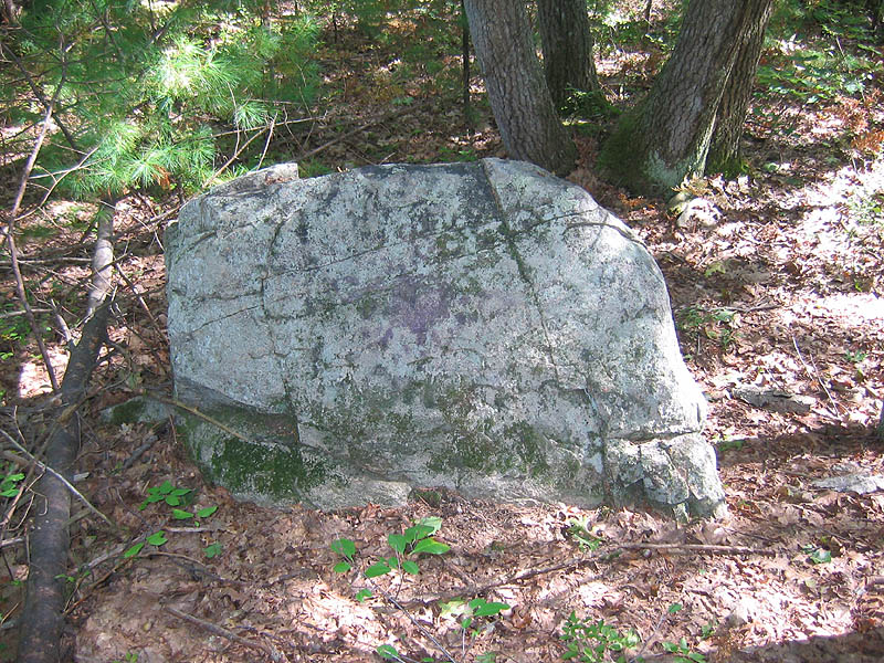
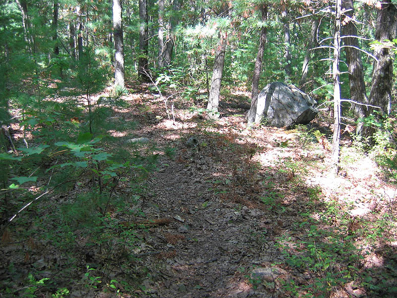
September 2005 Update: The Purple Sun continues to fade as mother nature takes her toll. This is the current condition of the rock (left) and a view of what the rock looks like when approaching it on the trail (right) as an aid to help finding it. |
|
|
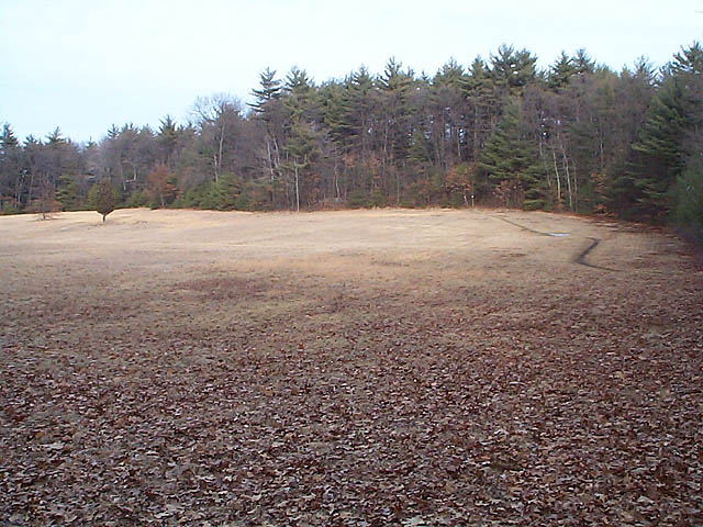
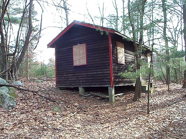
There are several opens fields in this part of the park. This small field is shown on the trail map as a loop off of Bear Paw Trail and just northwest of Beebe Pond. The cabin is in the woods northwest of field. What's it doing there? Who knows...just another odd thing found in the woods. |
|
|
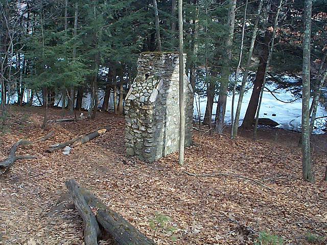
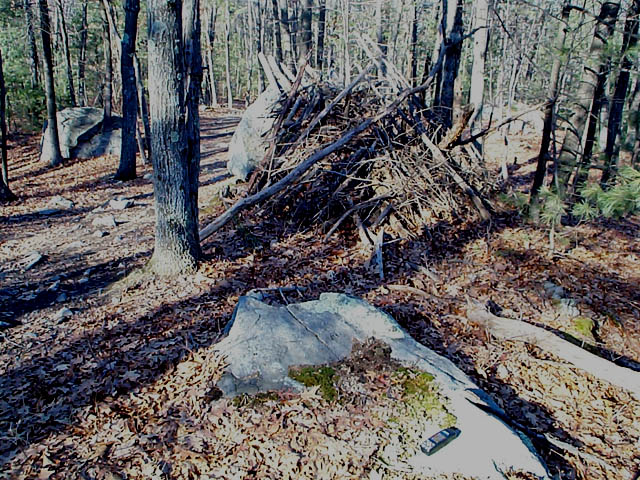
Speaking of odd things found in the woods, here are some more. Fireplaces sure seem popular (there's a similar one in the south side of the park). This one is just west of Beebe Pond where Pine Tree and Bear Paw trails meet. Someone built this lean-to in the middle of the woods. |
|
|
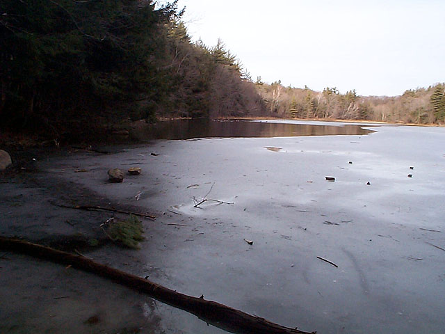
Beebe Pond is one of the largest landmarks in this part of the park. The south end looks rather like a man-made dam. You may be able to see the many ducks and geese on the pond in the distance in these photos. |
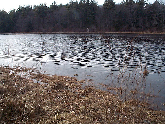
|
|
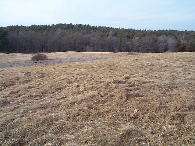
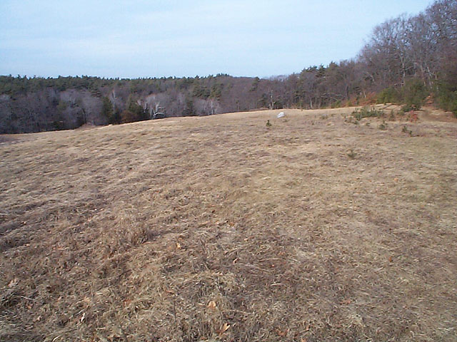
Just east of Beebe Pond is this big field. It's not flat and even offers a bit of a view from the higher side. To the east of the field is Gibbs Mountain; the trails there are steep enough to give you some good exercise. |
|
|
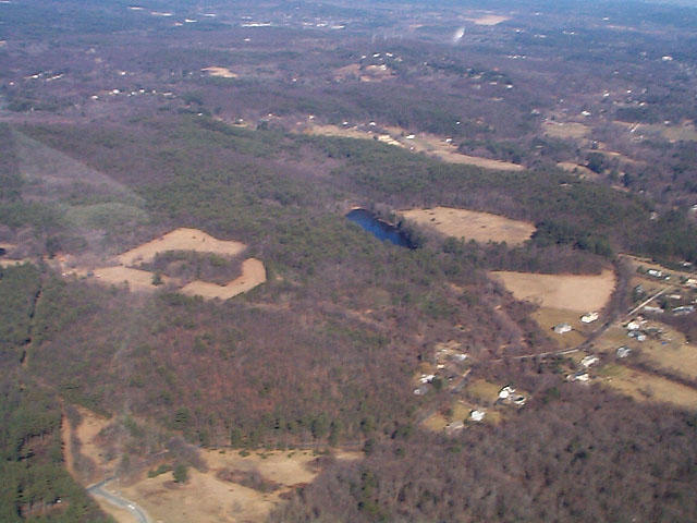
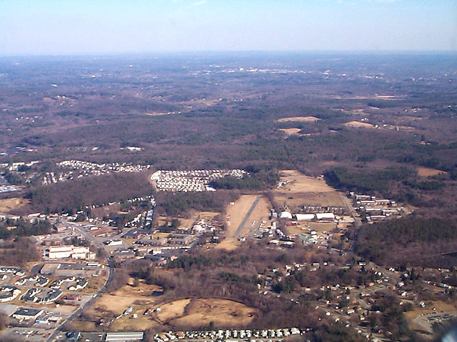
Here's what the northern part of the park looks like from 2000 feet above. The left photo is centered on Beebe Pond, with the large field and Gibbs Mountain to the right of it. The right photo shows Route 20 at the lower left and Marlboro Airport lower center with the runway pointing right at the park. |
|

|
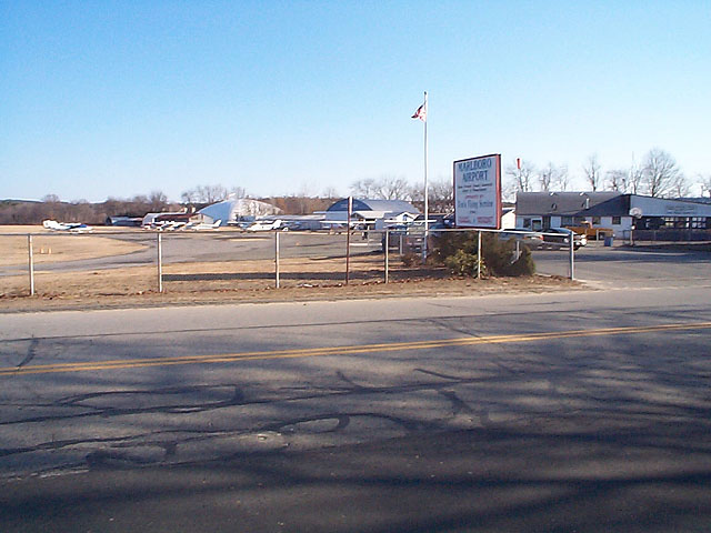
If it's a nice day you'll probably notice lots of small planes flying very low overhead, especially at the western end of the park. Marlboro Airport is only half a mile away and the runway is pretty well aligned with the park. Surely I'm not the only person to get starting in Geocaching because of being a pilot, and wanting to get more use from a GPS already on hand? If you're not a pilot but are interested, check out the web site for my local flying club. If you have kids you might be interested in the free plane rides we offer once a month during the summer; more information here. |
|
Warning!
Continue to the rest of the photo gallery.
Callahan Cache North Page at Geocaching.com