
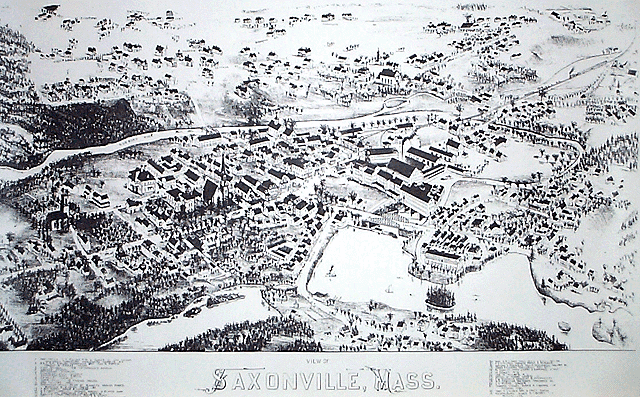
Saxonville 3D
Note that this view shows the original wooden mill buildings, as it was drawn a year before the fire that destroyed most of them.
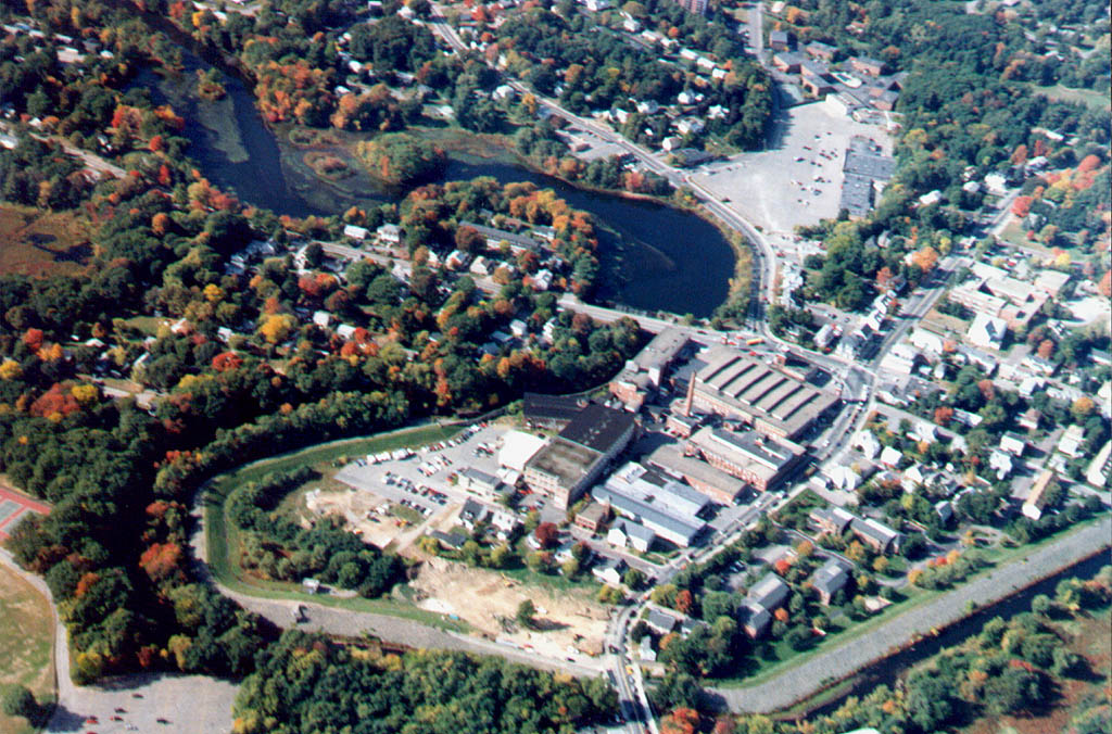
For comparison, click here for a large image of what Saxonville looks like from the air today.
Other Choices
Historical Walk